


New in Geography
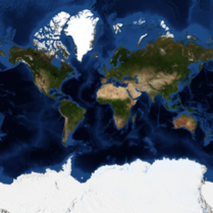
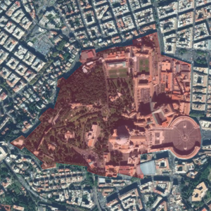
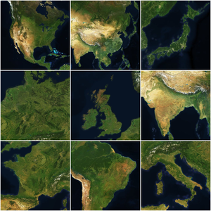
Version 12 extends the geographic functionality of the Wolfram Language by providing access to more and better quality data, new computational structures and algorithms, and new forms of geo visualization. From the access to high-resolution satellite imagery and geo elevation data that allows building detailed representations of geographic information to the new geo vectorial objects that go beyond positional and scalar capabilities, these improvements and additions make the GIS system of the Wolfram Language an even more powerful framework for applications in geography.

- New extraction methods for
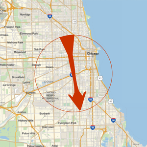
GeoPositionand other geo objects. » - Work with geo vectorial magnitudes, in different frames. »
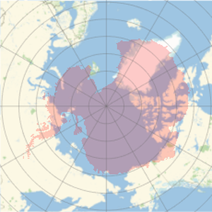
- Analyze distance, area and angular distortion of geo projections. »
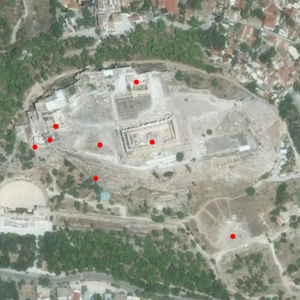
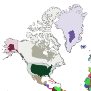
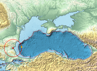
- Generate random geo positions, uniformly distributed in any region. »