5040

Geo Computation

Geo Computation in Mathematica 11

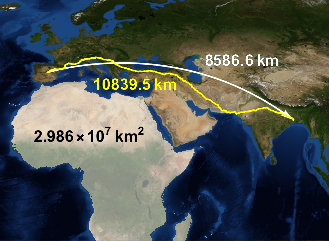
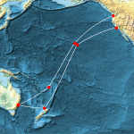
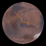
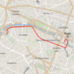
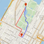
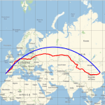
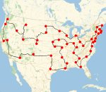
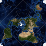
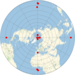
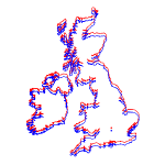
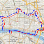
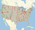
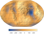
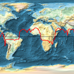
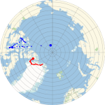
Mathematica Version 11 improves and extends the functionality for geo computation and geophysics. There are new functions to compute geodetic lengths and areas, new functions to compute travel instructions and estimations of their length and duration, and new functions to compute properties of the Earth's gravitational and magnetic fields. There is also a large collection of new cartographic projections, as well as new datums for the Earth. All together, the new geo functions provide very large computational power in general problems of geodesy and geophysics.

Key Features

  • Computation of travel directions and estimated time and distance, by driving, biking, or walking. »
  • Fast and precise computation of areas and lengths on ellipsoidal models of the Earth and other planets. »
  • Added more than 100 new cartographic projections. »
  • Added new datums and reference ellipsoids. »
  • Computation of local properties of the Earth's gravitational field. »
  • Computation of local properties of the time-dependent magnetic vector field. In particular, computation of the position of the magnetic poles. »
  • Added different elevation types and geoid elevation data. »
  • Extended support for geo positions in the system. »

Related Examples


A Submarine Cable »

The Martian »

Geodetic Areas »

Area Distortion by a Projection »

Travel Instructions »

Drive or Walk? »

Travel Time & Distance »

Travel All Capitals of the Conterminous US States »

Cartographic Geo Projections »

UPS and UTM Projections »

Spherical or Ellipsoidal Mercator »

Choice of Datum »

The Fastest Way to the Coast »

GPS Receivers and Elevation »

How Much Does It Weigh? »

North Magnetic Poles »