


Visualization & Graphics
Core Visualization
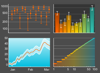
Version 12 extends the functionality of existing visualizations to make it easier to extract information from plots and charts. Visualize extreme ranges with new scaling function support for more types of plots. See the full range of uncertain values in data with flexible error bars, bands and regions. View your data in new ways with new layouts for plots that juxtapose datasets in ways that make it easy to compare values and trends.
Improved Visualization Labeling
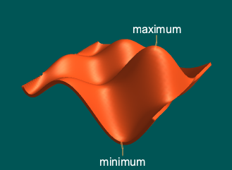
Labeling is a key feature in creating insightful plots and charts by allowing elements to have additional information such as names or values closely associated with them. Version 12 extends the classes of objects that can be labeled to include points, curves, parametric regions and surfaces in both 2D and 3D. Simultaneously, there are significant performance improvements in both faster labeling and better automatic positioning of labels. In addition to the automated labeling algorithms, the system still provides easy yet full control of how to place and style labels and callouts when needed.
Complex Visualization
The Wolfram Language includes built-in support for visualizing complex-valued data and functions easily and directly. Gain insights that are difficult to obtain when plotting just the real values of functions. Quickly identify zeros, poles and other features of complex functions using visual aids such as color shading and geometric objects.
Geographic Visualization
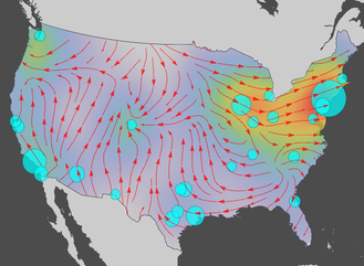
The Wolfram Language expands the ability to turn geographic data into stunning maps with new classes of geo visualizations. The new visualization functions provide additional insights, whether you are bringing your own data, using data sources directly available in the Wolfram Language or a mix of both. From simple sets of geo locations to locations with associated values, to complete vector fields, the Wolfram Language makes it easy to style and customize maps to emphasize and highlight the most important features in the data.