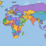
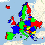
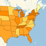
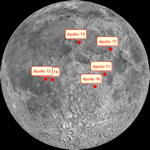
- Support for a large variety of geographical Entity types,
from "Country", "City",
or "AdministrativeDivision" to "Park", "BroadcastStation",
or "Airport".
- Access to hundreds of properties for those entities, related
to their geography, demographics, economics, and more.
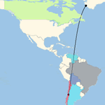
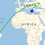
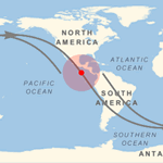
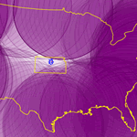
- Highly precise geodetic computations on the Earth's surface,
including computations of distances and angles, geodesics and
loxodromes, and much more, with full integration of Entity objects.
Support for standard ellipsoidal datums, like "ITRF00", "WGS84",
or "NAD27".
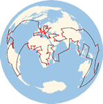
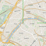
- Unified approach to general maps through the use of GeoGraphics,
which provides full automation and freedom in the choice of ranges,
projections, zoom levels, map styling, geo primitives, and more.
- Support for the standard cartographic projection methods, with
freedom to modify their parameters. Support for the standard
coordinate systems on Earth, such as the UTM/UPS zones or the
American SPCS83 collection.
|
- Full integration of the use of Quantity objects
with units to specify distances, areas, angles, times, etc.
- Support for positional properties of moving Entity objects,
like satellites, or time-dependent geographic primitives, like
the day-night terminator line.
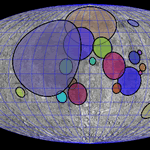
- GeoGraphics support
for maps of bodies other than the Earth.
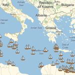
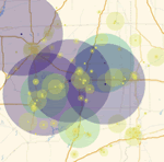
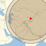
- Powerful geographical lookup algorithms, using proximity tests,
inclusion tests, and more, natively handling both extended areas
and point-like specifications, both built in and user defined.
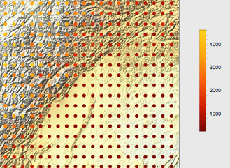
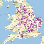
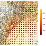
- Access to complete elevation data of the Earth, allowing easy
topographic map generation.
|