Geographic Computation
Geographic Visualization »
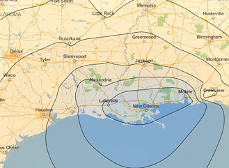
The Wolfram Language introduces GeoGraphics, an extension of its powerful graphical functionality to produce maps. GeoGraphics offers full automation and freedom to handle cartographic projections, choice of zoom (from the whole Earth down to meter scale), map styling (street maps, relief maps, ...), and much more. GeoGraphics introduces new geographical elements adapted to the surface of the Earth (like geodesics or rhumb lines for navigation) and has integrated access to the large corpus of geographical information in Wolfram|Alpha through the new Entity framework. |
Geo-Related Properties »
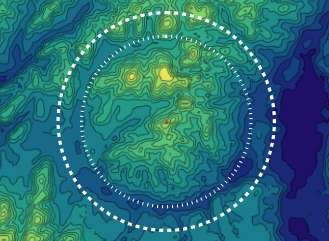
The Wolfram Language offers many convenience functions for easy access to current weather and astronomical data, and location-based knowledge for countries, states, and more—all integrated with powerful geographic visualization functions such as GeoGraphics. With comprehensive support for extended regions, recent and historical earthquake data, and sun and moon positions, the Wolfram Language provides you with all the tools you need to work with geographic data. |
Entity-Based Geocomputation »
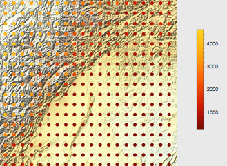
The Wolfram Language introduces a full Geographic Information System (GIS). It integrates the powerful new GeoGraphics function for map construction, the new Entity framework to access the large corpus of information in Wolfram|Alpha, and improved functionality for geodetic computations. This allows construction of a very large variety of maps—in any cartographic projection and including the representation of results of arbitrary computations—with any type of geographic data. |
|

